SWAT I/O Utilities (SWATioTools)
 Modeling of watersheds with hydrologic modeling applications is known
to be a tedious process especially dealing with pre- and post-processing
of input and output data. To help with this process, we developed a set
of ArcGIS utilities (SWATioTools). SWATioTools are programmed
with ArcObjects and Visual Basic and presented in a user friendly graphical
interface as an extension to ArcGIS.
Watershed Assessment Tool for Environmental Risk (WATER)
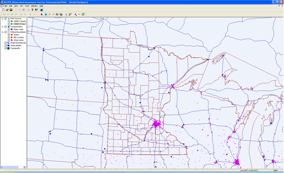 A continuous (15 minute time-step) simulation model, WATER,
was developed as a Windows application that allows practitioners
to evaluate the risk of erosion and has a suitable framework
to allow easier expansion to meet the future needs of the road
construction industry. The model incorporates hydrologic,
plant growth, erosion, and overland flow components, among others.
The model is able to consider complex watersheds that include multiple
land uses and a series of sediment control practices.
The model is currently under development.
Weather Input for Nonpoint Data Simulations (WINDS)
 One of the key components of the WATER model deals
with weather characteristics and rainfall patterns that are statistically
generated based on available historic data for more than 200 locations in the United States.
The weather/climate generator component called Weather Input for Nonpoint Data Simulations
(WINDS) is programmed as both integrated within WATER and independent stand-alone application.
The WINDS weather generator has routines to determine statistical characteristics
of daily climate variables and intra-storm characteristics from 15-minute precipitation data.
K-State Calibration Utility
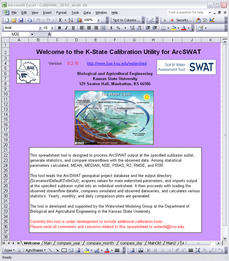 K-State Calibration Utility was developed to assist with a process of SWAT model calibration. The utility reads data from SWAT output folder, splits the daily data into sub-series and calculates annual, monthly and daily statistics. Daily simulated data is compared with an observed data and comparable statistics is calculated. The following statistics is provided with the utility: Nash-Sutcliffe Efficiency index (NSE), root mean square error (RMSE), percent bios (PBIAS), coefficient of determination (R2), average value, median, etc.
Weather Data Importer (NOAA-2-SWAT)
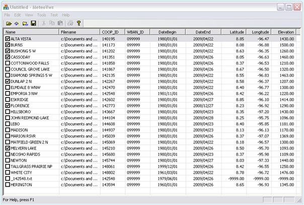 K-State weather data importer (NOAA-2-SWAT) converts default weather data file downloaded from NCDC weather data center into a format readible by SWAT. The utility checks values in data series for consistency, fills missing data values with the value accepted by SWAT (-99), and prepares the series for easy input into ArcSWAT.
